YEAR 8 Geography
FULL DAY PROGRAM - 2 classes max/day
9.15am - 2.15pm
Curriculum Links
- Geography
- Landscapes and Landforms: *geomorphological processes that produce different landscapes & significant landforms *the interconnections between human activity & geomorphological processes, & ways of managing distinctive landscapes
- Sustainability
High Impact Pedagogies
- Real-life forested riverine context
- Inquiry
- Authentic fieldwork
Students investigate the geomorphological (natural) and anthropogenic (human) processes occurring in the Bunyaville riverine landscape to then provide solutions to mitigate the negative impacts.
Students will be able to:
- identify the geomorphological and anthropogenic processes impacting the riverine landscape at Bunyaville Conservation Park.
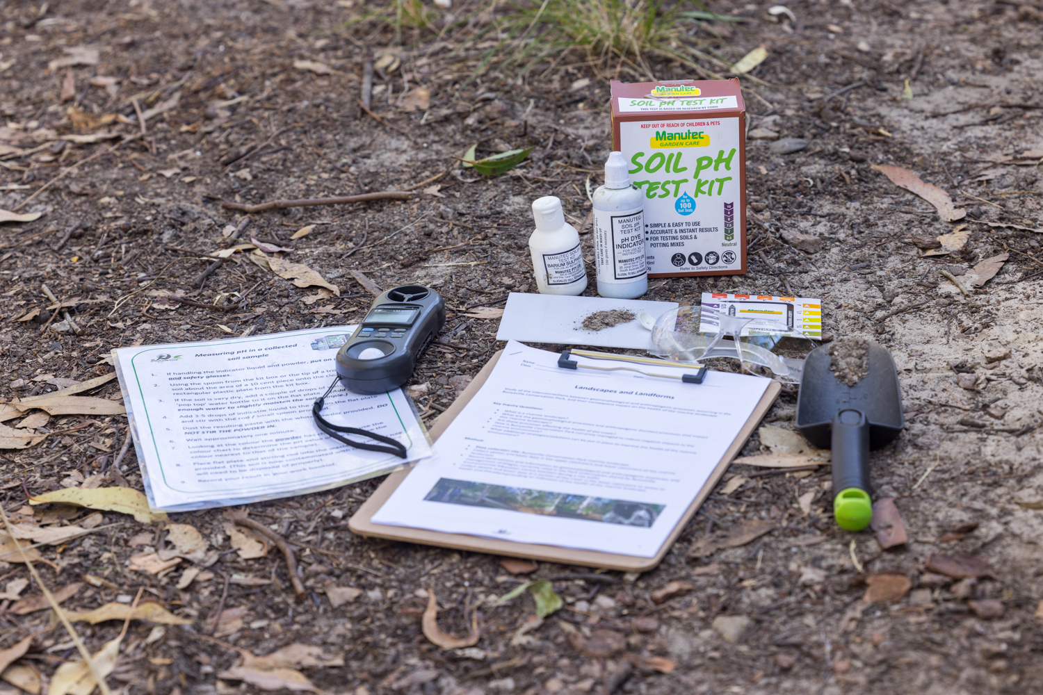
- collect and analyse abiotic and biotic data to investigate the impact the processes have on the riverine landscape.
- observe and understand the purpose of current management practices to mitigate negative impacts.
- gather information in order to problem solve solutions to manage the issues impacting the riverine landscape.
Overview of day
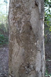
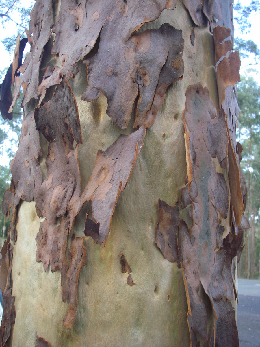
Students begin the day by learning about riverine landscapes, geomorphological and anthropogenic processes, and the positive and negative impacts these can have on the riverine landscape. Students then investigate two areas, comparing upper and lower catchments, by collecting abiotic and biotic data through field study investigations, site walks and freshwater testing over two sessions.
Upper catchment site session: Students collect abiotic and biotic data and observe evidence of geomorphological and anthropogenic processes. Students then undertake a guided site walk through the area observing these processes and evidence of management techniques used to minimise the negative impacts.
Lower catchment site session: Students collect abiotic and biotic data and observe evidence of geomorphological and anthropogenic processes. Students then undertake an investigation of the 'health of the creek' to assess the anthropogenic impacts from both upper and lower catchments on the river system. They investigate water quality and macroinvertebrate frequencies.
The students come together at the end of the day to revisit their learnings and start to come up with solutions to manage the issues impacting the Park.
Testimonials
Our trip to Bunyaville Environmental Education Centre was extremely valuable for our students. The ability to see the Geographical processes in action and collecting the data for themselves really helped to consolidate learning from the classroom. The program was really well-paced and engaging.
Mr W – Humanities teacher Yr 8